


Sabretooth78
-
Posts
178 -
Joined
-
Last visited
-
Days Won
1
Posts posted by Sabretooth78
-
-
This is all being quite confusing. While I thought I had found more evidence of OpenLC not showing, I was wrong. For instance, the area around KBUF is clearly showing OpenLC textures, while the KDGL area was "default":

Trying something else, I loaded OpenLC NA back onto my FSX installation - I keep one in a Virtual Machine on a different PC (actually a MacBook Pro) for scenery editing purposes, for example all my Vector fixes. With only Global Base and OLC NA installed (and after terrain.cfg regeneration, verify files and sync), I get a lot of "morphing" around KDGL, but it doesn't look as bad at initial load - no "night" textures, but rather the beige/pinkish desert texture that then morphs into urban/suburban textures upon slewing over.


Same result on different sims on different machines - definitely starting to find it difficult to find any other explanation aside from just being a bugged location.
-
13 hours ago, Doug Sawatzky said:
Hi
Have you tried the process in the below topic?
I did after I saw your reply, but that didn't seem to do anything.
I was able to find one way to get it to "work", but not really. I recalled from the past (good luck if I could find the posts now!) that a sometimes-solution to these issues was to move the "global" products in to the P3D folder. I then remembered this solving some similar issues in the past - particularly the KPHX issue I mentioned above. So I moved Global Base to the P3D folder, and nothing changed. Then upon moving OpenLC NA to the P3D folder, the issue went away - but what then shows (as you can compare above) appears to be OpenLC NA not being activated, despite being turned on in the scenery library!
(I then moved all of the other OpenLCs to the P3D folder, and things went back to "normal", with OpenLC NA being evident but the "night" spots returning.)
With Global Base and OpenLC NA moved to the P3D folder - quite clearly the same as default:

I've verified this in a few other areas I'm more familiar with, and coming to the same conclusion. Needless to say this is becoming quite frustrating, so I'm in the process of now moving things back to the library and rolling my P3D folder back to a backup from Tuesday (I'm not convinced that Orbx Central truly uninstalls things from the P3D folder). Everything was running quite well so I'm not exactly intent on mucking it up for an area I rarely fly over.
-
Curious if anybody else has encountered this, before I submit a support request.
Location is Douglas, Arizona/Agua Prieta, Mexico. Screenshots are roughly centered on KDGL.
I first noticed this as an exceptionally bright patch on the ground at night, flying about 50 NM to the north on a route from KFLL to KLGB. After landing, I decided to check it out and this is what I found:

I appear to have isolated the problem to OpenLC North America. OpenLC off:

Global Base off, OpenLC on:

As you can tell, there is also some morphing going on as the view changes or reloads.
I used to experience this occasionally before, usually to the northeast of Phoenix while on approach to KPHX. That area seems OK now.
This condition persists despite doing the following:
- Sync simulator
- Verify files (both Global Base and OpenLC NA) followed by sync simulator
- Reinstall (both Global Base and OpenLC NA), followed by verify files and sync simulator.
Any suggestions? I haven't encountered this elsewhere recently, and it is a bit of an out-of-the-way location. But what bothers me is if happens in one place, so it can easily be somewhere else and much more noticeable.
Thanks!
-
Attached is a file that adds in the missing section of the Suriname River. Place anywhere in your scenery library above the Vector entries. This should work equally well for Vector in FSX and P3D v4 and v5.
It turns out the section in question was completely missing as a polygon, but for whatever reason the two shorelines were present as streams. Assuming that must just have been some coding error when the data was processed.
-
It could in theory be done but the problem is it's a fairly large and convoluted section of coastline and it would take me quite a while to edit for minimal benefit, as the coastline depicted technically is not incorrect but rather is displaying an incorrect texture (as has already been discussed). It would probably be most simply fixed with a landclass polygon, unfortunately there are no default tidal flat textures that I'm aware of that would do the area justice and actually create an improvement. The Orbx FTX series uses a custom texture that I either can't access with SBX Builder (or I'm just not skilled enough to know how) not to mention a fix user would need to have that texture as I understandably would not be allowed to distribute it. I've also been hesitant to work on fixes where such fix is obviated by a popular add-on, be it by Orbx or anyone else.
By chance, have you looked at the area in default v5 to see if there is any improvement? Or, with v5's performance gains (assuming you intend to upgrade) allowing expanded utility of the FTX series for airliner ops, I would simply highly recommend picking up FTX PNW for once all our favorite airliners make the conversion.
-
KGPI is former KFCA. I believe there is a setting to change ICAO of that airport to KFCA in Orbx Central in order to enable AI traffic.
-
On 12/4/2018 at 11:45 PM, cbreeze said:
Thank you very much. The response I have been waiting for. It is annoying because it is such a prominent landmark flying north out of KMDW. I hope you can correct it without much trouble.
Attached is a fix that adds the missing segment of the Chicago River back into the sim. I dug a little deeper and also corrected a few other features that I found were missing. The Calumet River was missing west of Lake Calumet, as well as the Indiana Harbor Canal. Place the file in your library somewhere above Vector.
Typical of these SBX Builder fixes, the new shorelines (FSX/P3D default gray) don't match the style of the ORBX shorelines (greenish) and there's nothing I can do about that - small price to pay. If you notice any shorelines missing, let me know - the excludes to prevent the default Vector shorelines from crossing the river where it "ended" can be finicky - I think I caught and re-added all the ones it blocks out, but it's possible I may have missed one.
As is usual when you go looking for problems, you usually find them...

-
 2
2
-
 2
2
-
-
Rather than "deleting" files, has anybody made an effort to simply block these bridges where they collide with default bridges? Probably one of the few areas where the default scenery is preferable. I've started building an exclude file for my own use to block these extrusion bridges - obviously it's a compromise as the default bridges don't line up with the Vector roads all the time, but from low altitudes it certainly looks better than double bridges and from airliner operations it's scarcely noticable.
-
It seems that while the freeware airports do a good job of peppering the northeast and mid-Atlantic US, Western New York (and Upstate NY in general) is largely devoid of these improvements. Might I suggest a selection which would fill that gap up nicely while also complementing the ORBX "butter zone" of existing smaller fields:
0G0 - North Buffalo Suburban
4G2 - Hamburg Inc
5B2 - Saratoga County
5G0 - LeRoy
62NZ - Lockport Cambria (mostly a gliderport)
7G0 - Ledgedale Airpark
89NY - Maxson Airfield
9G0 - Buffalo Airfield
D38 - Canandaigua
D80 - Olcott-Newfane
KALB - Albany Int'l
KART - Watertown Int'l
KBGM - Greater Binghamton/Edwin A Link Field
KBQR* - Buffalo-Lancaster Regional (was "D77" up until a few years ago)
KDKK - Chautauqua County/Dunkirk
KDSV - Dansville Municipal
KELM - Elmira/Corning Regional
KELZ - Wellsville Municipal Tarantine FIeld
KGFL - Floyd Bennett Memorial
KGVQ - Genesee County
KIAG - Niagara Falls Int'l (current/former AFB)
KJHW - Chautauqua County/Jamestown
KMAL - Malone-Dufort
KMSS - Massena Int'l/Richards Field
KOGS - Ogdensburg Int'l
KOLE - Cattaraugus County/Olean
KPBG - Plattsburgh Int'l (former AFB)
KPEO - Penn Yan
KPTD - Potsdam Municipal Damon Field
KRME - Griffiss Int'l (former AFB)
KROC - Greater Rochester Int'l
KSCH - Schenectady County
KSDC - Williamson-Sodus
KSWF - Stewart Int'l
KSYR - Syracuse Hancock Int'l
N66 - Oneonta Municipal
A few of these (particularly KROC and KSYR) are perhaps a bit on the larger side but there are to my knowledge no significant offerings available. (Of editorial interest, in real life I've flown out of 9G0 (in the left seat), KBQR, KSYR, and skydived out of KMAL.)
Also, a few other suggestions outside Upstate NY:
KAVP - Wilkes-Barre/Scranton Int'l
KERI - Erie Int'l
KHPN - Westchester County
KMHT - Manchester-Boston Regional
Finally, I'd also like to second the previous requests for:
TFFG - Grand Case
TQPF - Clayton J Lloyd Int'l
I've made some improvements to both of those for my personal use (TQPF was recently expanded), but they really deserve the professional treatment to play with their brethren TNCM, TNCS and TFFJ in that tight little cluster of some of the worlds' more interesting airports. I've been to or right by 3 of them in real life, hopefully get to knock off the other 2 someday soon.
I promise I'm done - I'd be appreciative to see even just one of all these make the cut!
")
-
2
-
 1
1
-
-
In a recent post of mine (linked below for reference), I found some Vector issues at various islands in the Pacific. Anyway, as part of doing so I found a host of "misfit" airports which I will list below. I'm not expecting these to be fixed immediately, in fact I'll probably fix (or attempt to fix) a bunch of them myself. But I figured we might as well get them on the record as they are "bugs" nonetheless:
AGGQ Ontong Java
N55 Jaluit
NCMK Mauke
NFNM Matei
NFTP Niuatoputapu
NGTE Tabiteuea
NSFI Fagali
NTAR Rurutu
NTAT Mataura
NTAV RaivavaeNTGD Apataki
NTGE Reao
NTGF Fakarava
NTGH Hikueru
NTGJ Totegegie
NTGK Kaukura
NTGM Makemo
NTGR Aratika
NTGT Takapoto
NTGW Nukutavake
NTGY Tureia
NTKA Kauehi
NTKM Takume
NTKR Takaroa
NTKT Katiu
NTTX Mururoa
NTUV Vahitahi
NVSE Sangafa
PCIS Canton
PKMA Enewetak
PLCH CassidyPLPA Palmyra
Q51 Kili
TT02 Ulithi -
Discovered this oddity while overflying the island of Martinique today:
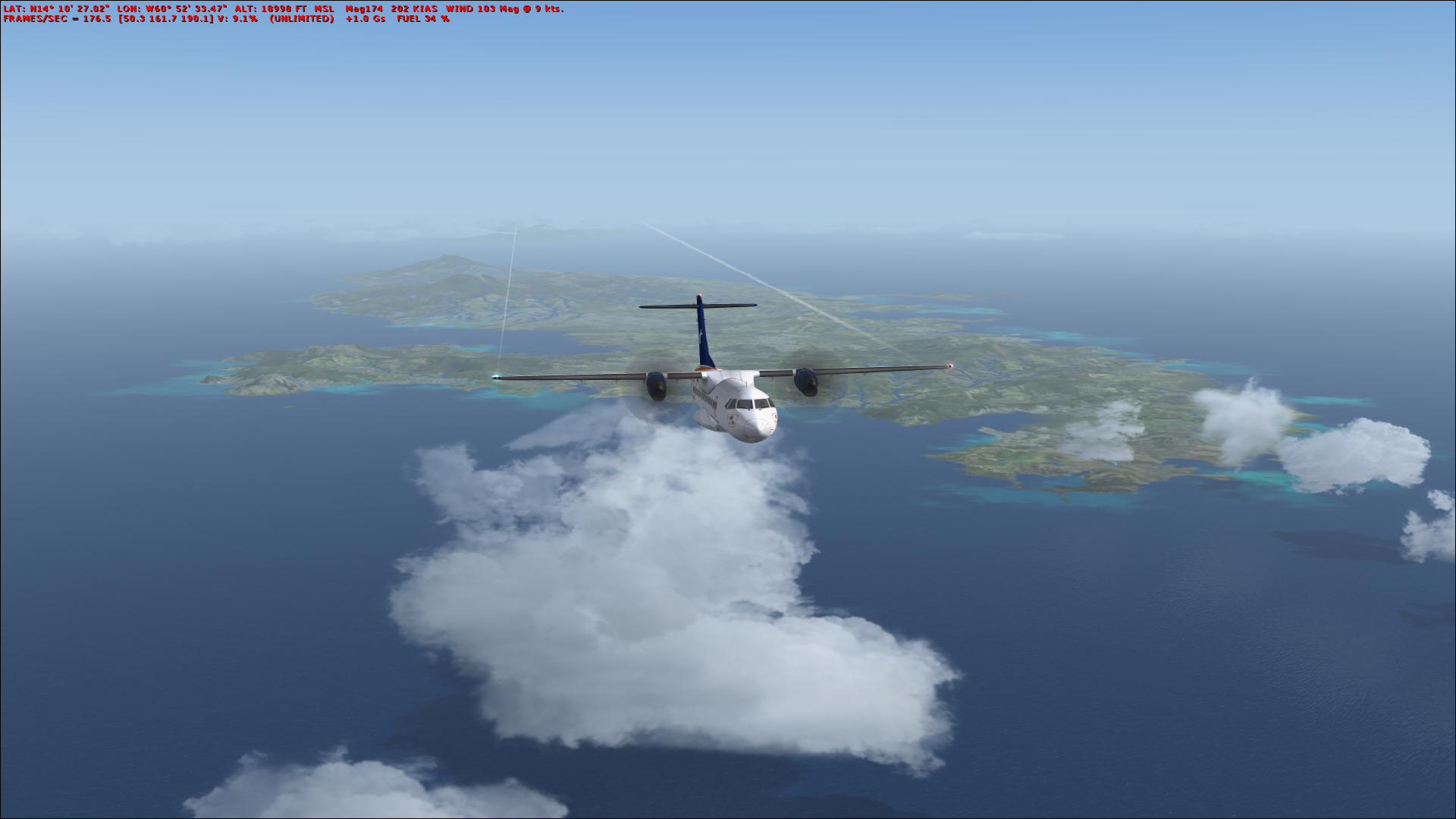
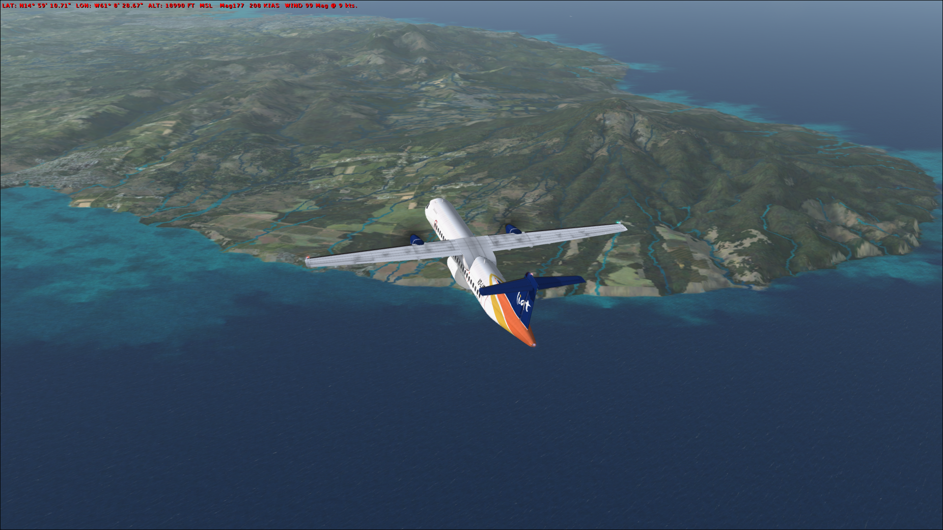
It seems that the rivers aren't features but rather extensions of the coastline all the way up to their sources (if I'm describing that correctly) - as you can see the water class shows through them and while I wasn't able to get a good picture of it, the rivers feature the crashing wave effect typical of coastlines. It wouldn't be so bad if the rivers weren't so noticeable from a distance - for instance in the first picture, it looks like the far portion of the island (above the starboard wing) is flooded! I haven't noticed this on any other island so far.
At first I suspected it might have had something to do with the freeware PW Sceneries that I happen to use, but disabling those didn't make the problem go away. Rather, it appears to reside in the Vector CVX layer.
-
Here's another one that I don't believe has been reported: NCMK, on Ma'uke (Cook Islands), to the northeast of Rarotonga (NCRG). I can't understand how nobody has found this one!
Unlike the Bahamian airfields, at least this one has its own little island, but it looks rather ridiculous:


A quick Google Maps visit: https://goo.gl/maps/SLMojyHron82
Also, nearby Aitutaki (somewhat to the northwest) is nominally correct but the airport polygon is perhaps a bit too wide. I can understand if that's not really a priority, however.


")


OpenLC Roadway Lighting
in General Discussion
Posted
Still mucking around with P3D...
Does anybody know or remember how to remove the ground texture circles under the OpenLC roadway light objects?
I'm finishing off a custom AFCAD to add runway 16R/34L to SPJC, and there is a road that was buried under the runway. I've been able to exclude the actual light objects - which is good enough if that's all I can do - but I was curious if anybody knew how to disable the vestigial light textures on the ground where the road was, inside the red box in the attached picture.
Thanks!